Chapter 3 – Part four: A central metropolitan block
Location: 302
We have not regarded it as part of the exercise to pursue the implications of converting Euston and Tottenham Court Roads to motorways
Location
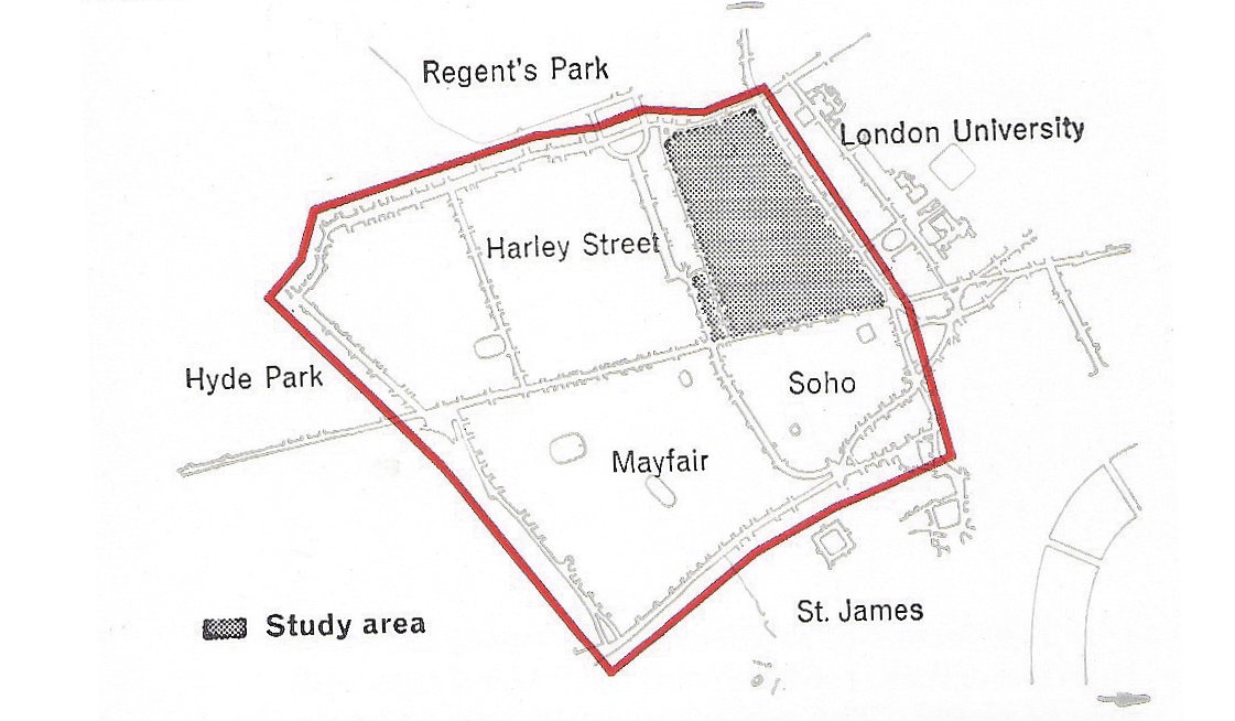
302The centre of London consists of a number of quite clearly defined zones, one of which is the area lying between Euston Road to the north and Piccadilly to the south, Hyde Park to the west and Tottenham Court Road to the east (Figure 174). Our study area lies neatly in the north-eastern corner of this area which for the purpose of this report we have called the West End. We therefore decided that it was a reasonable assumption that the boundary roads at the corner, that is Euston Road and Tottenham Court Road, should be regarded as parts of a larger rectangular (as opposed to hexagonal or other pattern) grid serving the central area of London. We also assumed that this primary grid would be required to deal only with traffic generated by the centre of London, and would itself lie within a ‘regional grid’ which would deal with through traffic in relation to the central area of London. Although it did not require much consideration to realise that this primary grid would need to comprise roads of motorway standard, we wish to make it quite clear that this was an assumption for an academic study. We have not regarded it as part of the exercise to pursue the implications of converting Euston and Tottenham Court Roads to motorways. The implications would be very far reaching, but even if prolonged study of the centre of London resulted in a different network we do not think the results of our study would be invalidated. If preferred, our study could be described in a more abstract way as a ‘study of an area bounded on two adjoining sides by primary distributors’